Drones Mapping Landslides following the Gorkha 2015 earthquake in Nepal |

|
|
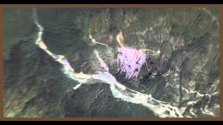
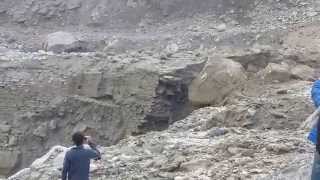
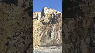
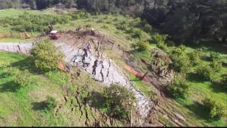
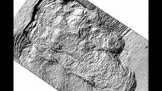
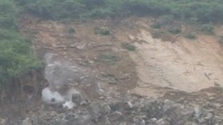
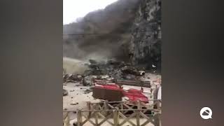
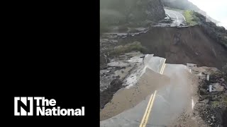
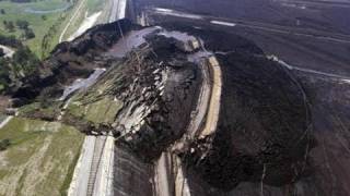
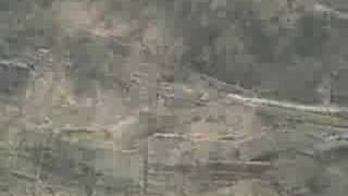
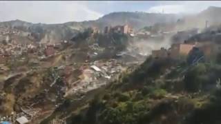
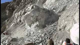
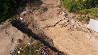
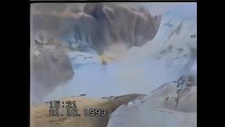
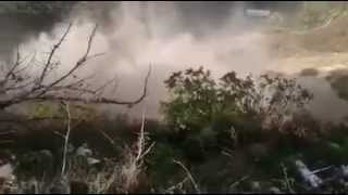
More than 20,000 landslides took place in Nepal during the Mw 7.8 Gorkha earthquake on April 25th 2015 . This video describes the landslide mapping efforts of researchers from the University of Michigan (Dr. Marin Clark, and Dr. Dimitrios Zekkos), University of Southern California (Dr. Josh West) in the US and Tribhuhan University (Dr. Deepak Chamlagain) in Nepal. The research team used drones and photogrammetry principles to view map and create 3D models of large rock slides, debris flows and even rockfalls. The drone was particularly needed in this case, because of the steep topography and the large size and runout length of some of the landslides, that made it nearly impossible to map otherwise. Video prepared by Geoengineer.org staff.
Song: Mistery of Danch (unfinished) Artist: dj answer http://www.orangefreesounds.com/ |