♫musicjinni

Our Water in 3D: The USGS 3D Hydrography Program (2023)

video thumbnail
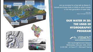
The Vermont Enterprise GIS Consortium (EGC) hosted a remote talk by Stephen S. Aichele and Susan Buto of USGS on the 3D Hydrography Program (3DHP). The 3DHP will result in a significant refresh of the United States' hydrography data.

Finding and Using Vermont Lidar Data: An Introduction (2022)

Our Water in 3D: The USGS 3D Hydrography Program (2023)

Introduction to The National Map Viewer and Data Delivery Services

A More Precise Mapping of Lake Champlain's Bottom Bathymetry

No More Downloading: Using Services to Bring Maps and Data Into Your Map Project

Disclaimer DMCA