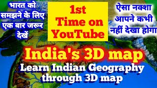
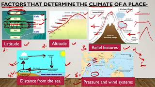
Learn Indian Geography through 3D map. |

|
|
This is the first Introductory video of the upcoming series of Indian Geography. In this video, I am going to talk about how will I teach Indian Geography through a 3D map. This 3D map will give you a wonderful realistic view of India. Through this 3D map, you can easily understand the concepts that seem very difficult.
|