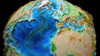
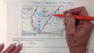
Earth 3D Relief x 100 Topography Bathymetry North |

|
|
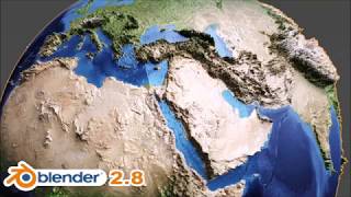
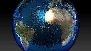
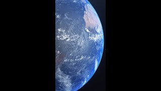
This video shows a visualization of the ETOPO1 Global Relief Model. Relief is exaggerated by a factor 100.
Credits for the earth model and texture: The ETOPO1 Global Relief Model is available at: http://www.ngdc.noaa.gov/mgg/global/relief/ The world grid used is ETOPO1 Ice Surface, grid-registered, binary: etopo1_ice_g_i2.bin As a texture the image 'color_etopo1_ice_full.tif' from NCEI is used (see description, authors and link at the ETOPO1 page). This file was downloaded from: http://www.ngdc.noaa.gov/mgg/global/relief/ETOPO1/image/ |