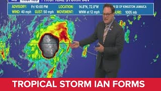
Friday night Tropical Storm Ian Update: Moving through Caribbean |

|
|
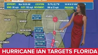
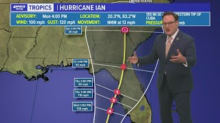
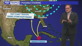
Chief Meteorologist Chris Franklin explains the possible future of Ian as it moves toward the Gulf and the west coast of Florida.
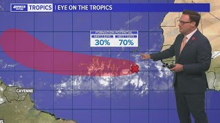
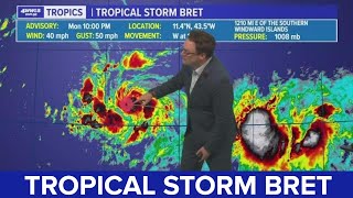
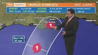
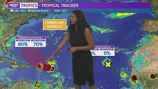
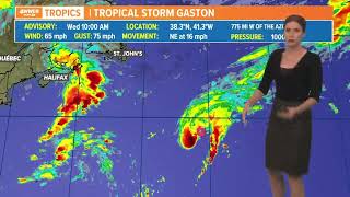
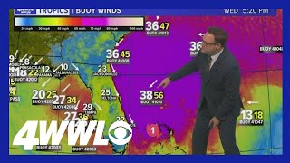
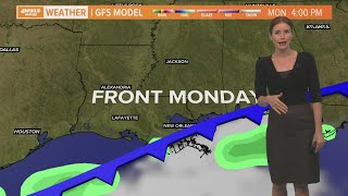
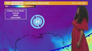
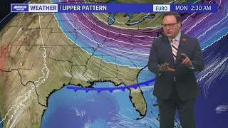
Tropical Depression 9 was upgraded to Tropical Storm Ian Friday night, though the closed circulation remains exposed thanks to wind shear to its NE. Most thunderstorm development has been removed to the west of the center. That is expected to change with wind shear settling through the weekend. This will allow storms to develop near the center and to further organize and strengthen. The next name up is Ian since this afternoon TD 10 off the west coast of Africa became Hermine. That storm will remain in the eastern Atlantic. |